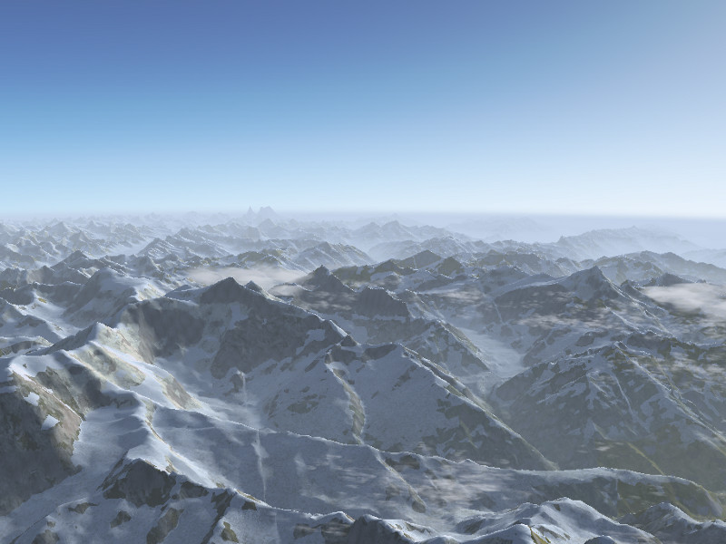
Together with the release of Flightgear 3.0, a new world-wide scenery is now made available!
Flightgear’s world scenery is based on large-scale processing of publicly available and GPL compatible geodata. There is practically no manual intervention involved, which means that the scenery team can’t decide what quality the scenery will have at a certain location, that is only determined by the quality of the available data.
Thanks to the efforts of developers in bringing the processing toolchain up to date, the new official scenery with much better resolution than the previous scenery has now been possible. The new scenery is already available via Terrasync, but it requires a recent version of Flightgear, older versions are not capable of handling the vertex number of the new terrain mesh.
This FlightGear World Scenery was compiled from:
– ViewFinderPanoramas elevation model by Jonathan de Ferranti
– VMap0 Ed.5 worldwide land cover
– CORINE land cover 2006v16 for Europe
– Several custom land cover enhancements
– The latest airports (2013.10), maintained by Robin Peel of X-Plane
– Line data by OpenStreetMap
In general, airport layouts are now improved and updated all over the world, major roads and rivers are drawn to much higher accuracy than previously and the elevation mesh resolution is increased everywhere.
Europe
The most stunning improvements are found in Europe, where in addition to the increased resolution of the elevation mesh, also the CORINE database provides high resolution landcover data. This makes the visuals both in mountain regions as well as plains much more applealing. Combined with regional texture schemes and procedural texturing, an almost photo-realistic effect can often be achieved.
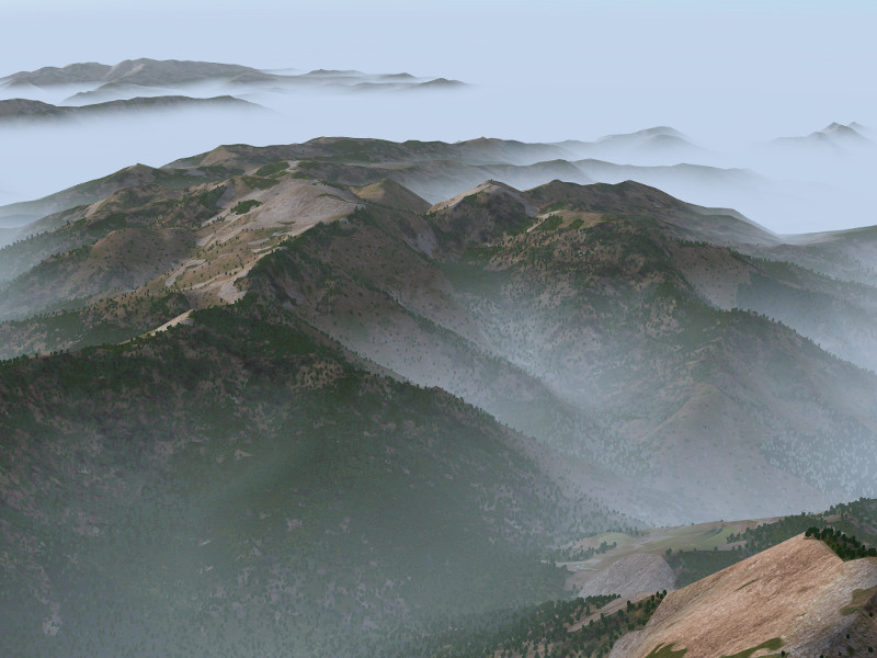
Corsica, France seen from above in morning fog (utilizing Mediterranean texture scheme) :
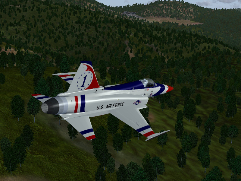
Details of Corsica, France in low-level flight with the F-20:
Fjell lands in Norway (using Scandinavian texture scheme):
Norwegian fjordlands:
Ouside Europe
In the absence of CORINE data, improvements in the landcover rendering are not as dramatic, which leaves flat terrain largely comparable to the previous version of the scenery. However, mountainous regions benefit enormously from the improved elevation mesh resolution. The rendering of light and shade, transition shader effects and snow effects all key on elevation gradients and allow in essence to render the terrain with much more visual detail despite the lack of detailed landcover.
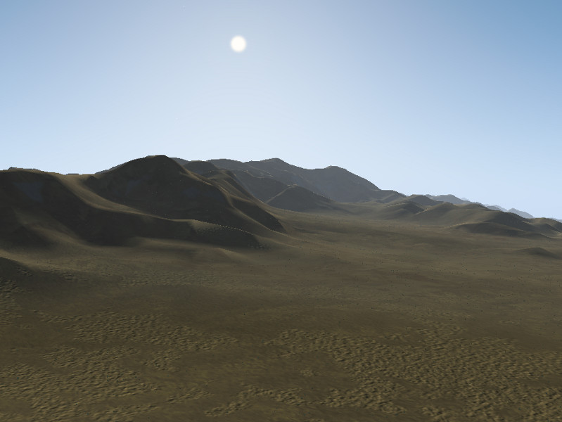
Desert hill chain near Tabas, Iran, seen from the ground (using Middle-East texture scheme and dust shader effect):
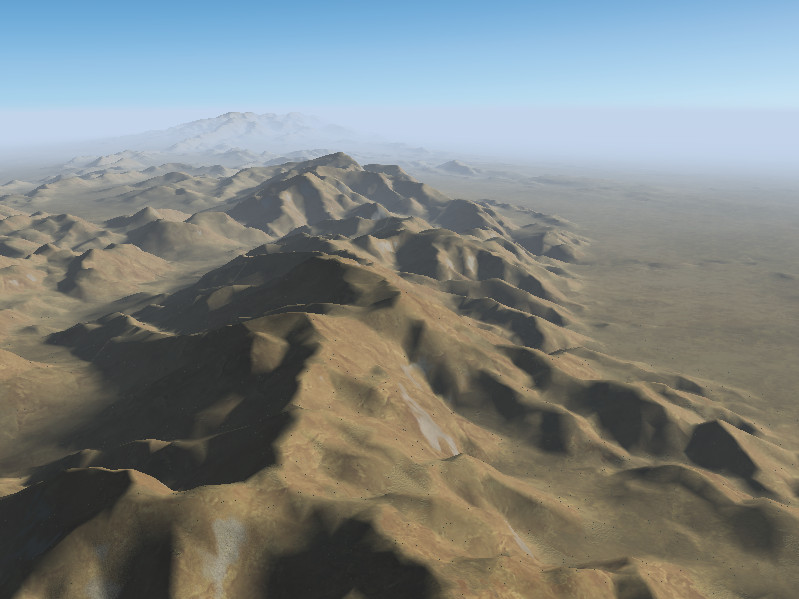
As above, seen from the air:
The Grand Canyon, USA (using dust shader effect):
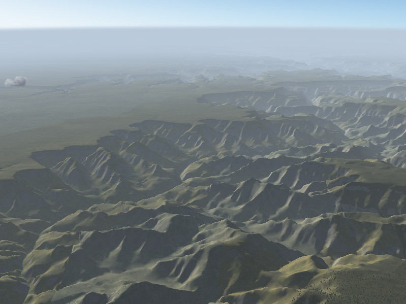
View of the Grand Canyon, USA from high altitude:
Nanga Parbat, Himalaya, Pakistan seen across the Indus valley:
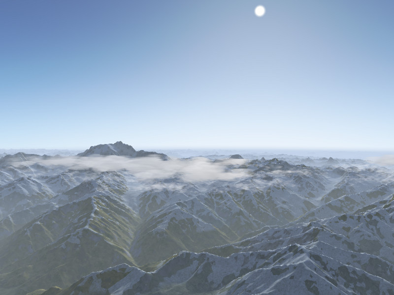
Himalaya north of Nanga Parbat:
Thanks
Special thanks to the people involved:
John Holden
Olivier Jacq
Vic Marriott
Julien Nguyen
Gijs de Rooy
Christian Schmitt
Martin Spott
James Turner
Markus Metz
Pete Sadrozinski
