Flightgear is constantly under development and as the feature freeze for the next 3.2 release approaches, it is becoming increasingly clear what the next version will have to offer to users:
Missions
The Flightgear world is becoming more interesting…
[youtube]http://www.youtube.com/watch?v=dU7ikBZOjgk&feature=player_detailpage[/youtube]
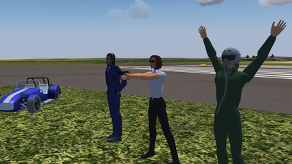
A mission subsystem is being added. This allows to define tasks to be completed by a player which then receives points. Visual guidance symbols can be used to indicate the location of the next task. The mission system combines with the Milestone 4 release of the walker,and thus more complex adventures can be built in which the player has to exit an aircraft and walk to a certain location.
The walker subsystem now allows for more complex animated motion and adds NPCs, characters with whom a player can interact. Also, check out the selection of cars and motorbikes to explore the Flightgear world!
Cloud shadows
Finally some shade!
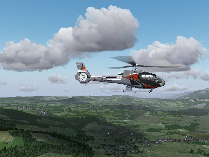
Cloud shadows are notoriously difficult to render, but for Advanced Weather in combination with the Atmospheric Light Scattering rendering framework, there is now an experimental option to add them (at least close to the aircraft) to the experience.
Earthview
See the world from high up!
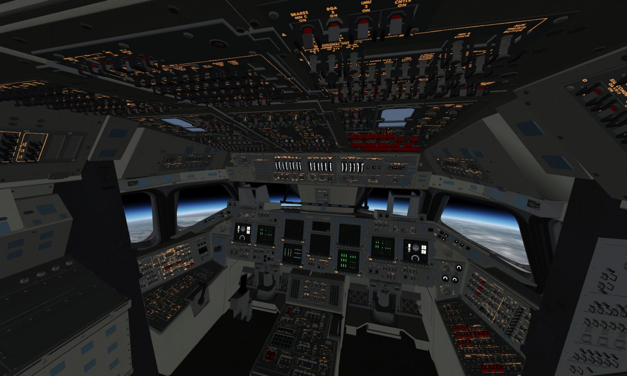
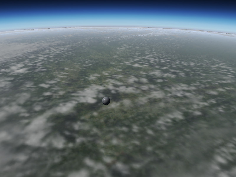
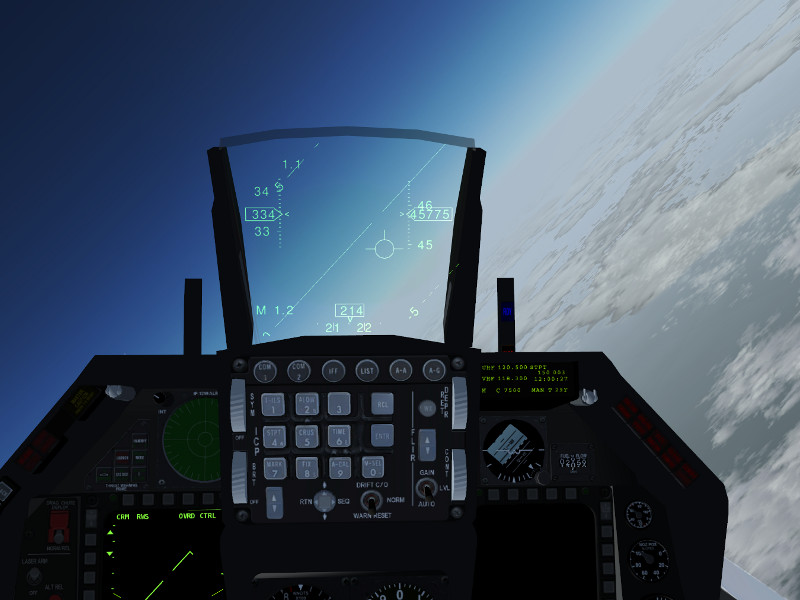
Introduced to provide better visuals for the spacecraft in Flightgear, Earthview is an alternative rendering engine intended for use at high altitudes. It renders Earth as a simple, textured sphere surrounded by a cloud sphere. The textures are provided by the NASA Visible Earth project. By default, a set of 2048×2048 textures is distributed, but Earthview is intended to allow easy access for users who want to install their own hires texture set. At full resolution of about 21000×21000 pixels per texture provided by NASA, it looks simply spectacular even from just 50 km altitude – see the Vostok capsule above entering the atmosphere.
Built-in http server
Access the property tree in a novel way!
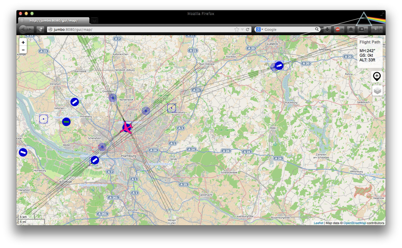
Flightgear now includes the Mongoose web server as a httpd. This allows for interesting new application, for instance merging information from Flightgear and OpenStreetMap or Mapquest, leading to a new moving map application covering the whole world is available which tracks the airplane’s position.
Cloud drawing distance
See clouds out to the horizon!
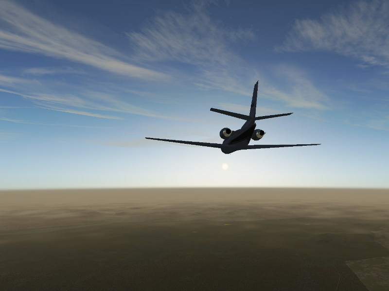
Flightgear’s weather rendering so far has not been up to the task of showing a plausible view from high altitude. But this has now changed – a new framerate-friendly impostor technique is used to render clouds out to the horizon – wherever that may be (the system has been tested for 1000 km visibility from low Earth orbit).
Rendering improvements
Visuals keep getting better!
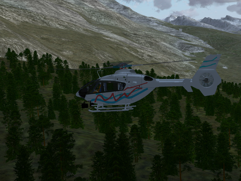
Lots of work has been done on the small details. New tree textures at higher resolutions make the forests actually look nice. Novel noise function are used to improve the visuals of snow on steep terrain slopes, to change tree height in discrete patches mimicking patterns of forest management, or to remove tiling artifacts from large-scale agriculture. Enjoy all the details the new version will have to offer.
And many improvements more!
Much work is done under the hood which is not obviously visible:
* The YASim flight dynamics engine is finally being developed further, with some long-standing bugs and limitations being addressed for the time being
* Ground interactions have been added to the JSBSim flight dynamics engine
* a new text-to-speech message is about to replace the old pre-recorded ATIS messages, adding a lot of flexibility
* an interface for allowing add-ons that use FSUIPC (an addon framework for Microsoft Flight Simulator) to talk to FlightGear
* osgEarth integration is still on the horizon
…
Stay tuned as we fly towards our next release!
